The route is also popular for connecting the Las Vegas Strip (an area with
expensive casinos) with Interstate
15. Next
photo>>>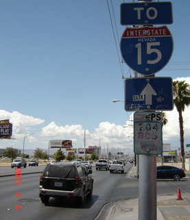
(Westbound Sahara Avenue; Las Vegas, Nevada)
--Photo taken by Carlos Rogers in 2005 ✔
Viatype:S4-D
Map Location: 36.14376, -115.15821![]()
<<<Previous
photo
![]()
![]()
![]()
![]()
Distance Chart for
Former Nevada 589
Former Nevada 589
| Junction Las Vegas Strip | |||||
| 8.2 | Junction Nevada 595 | ||||
| 8.4 | 17 | Winterwood, Sunrise Manor | |||
Approximate distance in km
(1 km = 0.621 miles)
(1 km = 0.621 miles)