The avenue's namesake appears. Over the past few years, a high-speed
roller coaster has been erected for the younger crowds.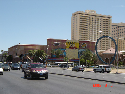
(Eastbound Sahara Avenue; Las Vegas, Nevada)
--Photo taken by Carlos Rogers in 2005 ✔
Viatype:S4-D
Map Location: 36.14358, -115.15763![]()
![]()
![]()
![]()
![]()
Distance Chart for
Former Nevada 589
Former Nevada 589
| Junction Las Vegas Strip | |||||
| 8.2 | Junction Nevada 595 | ||||
| 8.4 | 17 | Winterwood, Sunrise Manor | |||
Approximate distance in km
(1 km = 0.621 miles)
(1 km = 0.621 miles)