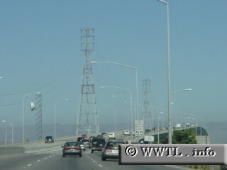
(Eastbound State Route 84; Menlo Park, California)
--Photo taken by Carlos Rogers in 2004 ✔
Map Location: 37.49272, -122.13561![]()
The Dumbarton tollbridge looms in the distance.
Next photo>>>
<<<Previous
photo
Distance Chart for
California 84
California 84
| Fremont, California | |||||
| 31 | Livermore, California | ||||
| 58 | 27 | Menlo Park, California | |||
Approximate distance in km
(1 km = 0.621 miles)
(1 km = 0.621 miles)