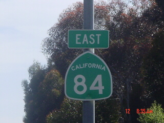
(Eastbound State Route 84; Newark, California)
--Photo taken by Carlos Rogers c. 2000s ✔
Map Location: 37.5544, -122.04775![]()
Highway 84 is more or less a "zig-zagged" route in the SF Bay Area. This highway has poor infrastructure; it is made up by several surface streets. State Route 84 has one unique distinction though--in its 40-mile path, it forms short duplexes with Federal Route 101, Interstate 880, State Route 238 and Interstate 680.
| |||||||||||||||||||||||||

