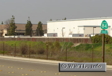
(Westbound Airway Boulevard; Livermore, California)
--Photo taken by Carlos Rogers in 2004 ✔
Map Location: 37.69615, -121.80592![]()
3,600 feet away from its eastern-terminus, eastbound State Route 84 briefly turns against its intended direction of travel.
Distance Chart for
California 84
California 84
| Fremont, California | |||||
| 31 | Livermore, California | ||||
| 58 | 27 | Menlo Park, California | |||
Approximate distance in km
(1 km = 0.621 miles)
(1 km = 0.621 miles)