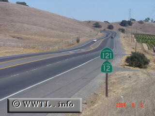
(Eastbound State Route 12/Northbound State Route 121; Sonoma
County, California)
--Photo taken by Carlos Rogers c. 2000s ✔
Viatype:S2-U
Map Location: 38.25185, -122.38817![]()
On its northerly journey towards Napa, Route 121 forms a short duplex with State Route 12.
Next
photo>>>
<<<Previous
photo
Distance Chart for
California 121
California 121
| Moskowite Center, California | |||||
| 24 | Napa, California | ||||
| 42 | 86 | Sears Point, California | |||
Approximate distance in km
(1 km = 0.621 miles)
(1 km = 0.621 miles)