| | 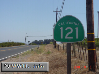
(Southbound Carneros Highway; Sonoma County, California)
--Photo taken by Carlos Rogers c. 2000s ✔
Viatype:S2-U
Highway 121 criss-crosses
through California wine-country. It spans from its southern terminus with
State Route 37 (in the south), through Napa, and has its northern terminus at
State Route 128. Interestingly, this route duplexes with two state routes along the
way--State Route 12 and State Route 29.
Next
photo>>>
| |