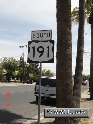
(Southbound S. 1st Avenue; Safford, Arizona)
--Photo taken by Carlos Rogers in 2007 ✔
Map Location: 32.83313, -109.70785![]()
Federal Route 191 spans great distances in the American West. Between the Mexican and Canadian borders, the route covers much distance and connects the unlike locations of Sonora and Saskatchewan.
Next photo>>>
![]()
![]()
Distance Chart for
Federal Route 191
Federal Route 191
| Douglas, Arizona | |||||||||
| 2613 | Loring, Montana | ||||||||
| 1122 | 1491 | Moab, Utah | |||||||
| 1404 | 1520 | 282 | Vernal, Utah | ||||||
| 2094 | 519 | 972 | 690 | Yellowstone Nat'l Park | |||||
Approximate distance in km
(1 km = 0.621 miles)
(1 km = 0.621 miles)