| |
(Westbound Trans-Canada Route 1; Alberta-British Columbia
border)
--Photo taken by Carlos Rogers c. 2000s ✔
Map Location: 51.45331, -116.28539
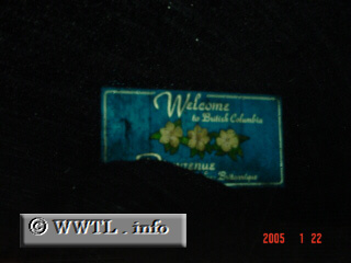
Welcome to British Columbia. Due to high-volumes of snow, the French
equivalent "Bienvenue à Columbie Britannique" is partially
covered. This crossing marks the Continental Divide, and a narrow two-lane
stretch of Trans-Canada Route 1.
Next
photo>>>
<<<Previous
photo
|
Distance Chart for
Trans-Canada Highway | Calgary, Alberta | | 3976 | | Montréal | | 3377 | | 659 | | Toronto | | 1043 | | 4925 | | 4425 | | Vancouver | | 1318 | | 2658 | | 2058 | | 2367 | | Winnipeg, Manitoba |
Approximate distance in km
(1 km = 0.621 miles) |