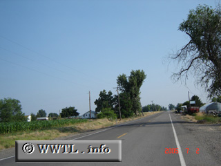
(Southbound State Route 52; Malheur County, Oregon)
--Photo taken by Carlos Rogers in 2005 ✔
Viatype:S2-U
Agriculture marks the route's path.
Distance Chart for
Oregon 52
Oregon 52
| Junction Oregon 201 | |||||
| 2.6 | Oregon-Idaho Border | ||||
| 5.4 | 2.8 | Payette, Idaho | |||
Approximate distance in km
(1 km = 0.621 miles)
(1 km = 0.621 miles)