| | 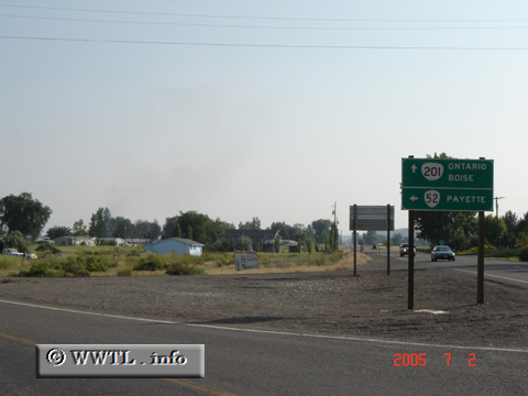
(Junction Oregon State Route 52; Malheur County, Oregon)
--Photo taken by Carlos Rogers in 2005 ✔
Viatype:S2-U
Map Location: 44.11844, -116.94465
Oregon State Route 52 may be the shortest two-digit route in the state of Oregon. The
route spans one mile from Oregon State Route 201 to its Snake River crossing. South of its
Snake River crossing, ID-52 carries traffic towards Spur-95 and Federal Route 95.
Next
photo>>>
| |