| | 
(Junction Oregon State Route 46; Cave Junction, Oregon)
--Photo taken by Carlos Rogers c. 2000s ✔
Viatype:S4-D
Map Location: 42.16275, -123.64686
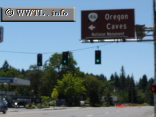
Route 46, a two-laned country road, connects motorists with the Oregon Caves
National Monument.
Next
photo>>>
| |