United States
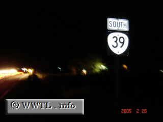
(Southbound State Route 39; Klamath County, Oregon)
--Photo taken by Carlos Rogers c. 2000s
✔
Viatype:
F4-D
Klamath Falls and Tulelake, CA are the control points for the twenty-four mile State Route 39.
Next photo>>>
Share with:
Share information about this road!
Distance Chart for
Oregon 39
Klamath Falls, Oregon
35
Merrill, Oregon
49
14
Tulelake, California
Approximate distance in km
(1 km = 0.621 miles)