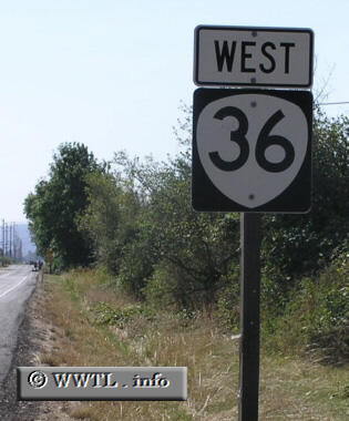
(Beginning of Westbound State Route 36; Lane County, Oregon)
--Photo taken by Chris Elbert c. 2000s ✔
Viatype:S4-D
Distance Chart for
Oregon 36
Oregon 36
| Cheshire, Oregon | |||||
| 47 | Greenleaf, Oregon | ||||
| 76 | 29 | Mapleton, Oregon | |||
Approximate distance in km
(1 km = 0.621 miles)
(1 km = 0.621 miles)