| | 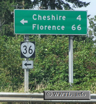
(Junction Oregon State Route 36; Lane County, Oregon)
--Photo taken by Chris Elbert c. 2000s ✔
Viatype:S4-D
Map Location: 44.19285, -123.20248
Oregon State Route 36, a rotue which runs
parallel to Oregon State Route 126, connects Cheshire with Mapleton.
Next
photo>>>
| |