| | 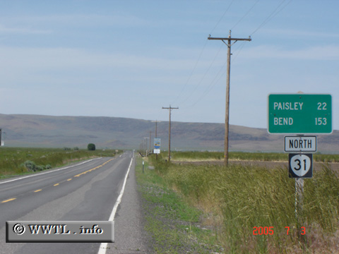
(Northbound State Route 31; Valley Falls, Oregon)
--Photo taken by Carlos Rogers in 2005 ✔
Viatype:S2-U
Map Location: 42.48615, -120.28213
Route 31 connects Lake Abert with La Pine. Most motorists use the highway
as a shortcut between Bend and Reno, Nevada.
Next
photo>>>
| |