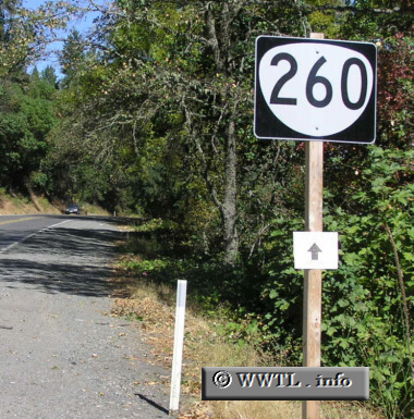
(Eastbound State Route 260; Josephine County, Oregon)
--Photo taken by Chris Elbert c. 2000s ✔
Map Location: 42.3979, -123.45861![]()
A daytime vantage-point from the same location.
Distance Chart for
Oregon 260
Oregon 260
| Grants Pass, Oregon | |||||
| 12 | Whitehorse County Park | ||||
| 37 | 25 | Wilderville, Oregon | |||
Approximate distance in km
(1 km = 0.621 miles)
(1 km = 0.621 miles)