United States
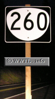
(Eastbound State Route 260; Josephine County, Oregon)
--Photo taken by Chris Elbert c. 2000s
✔
Viatype:
S2-U
Map Location:
42.3979, -123.45861
Route 260, synonymously known as the Rogue River Loop Highway, was commissioned around 2003.
Next photo>>>
Share with:
Share information about this road!
Distance Chart for
Oregon 260
Grants Pass, Oregon
12
Whitehorse County Park
37
25
Wilderville, Oregon
Approximate distance in km
(1 km = 0.621 miles)