| | 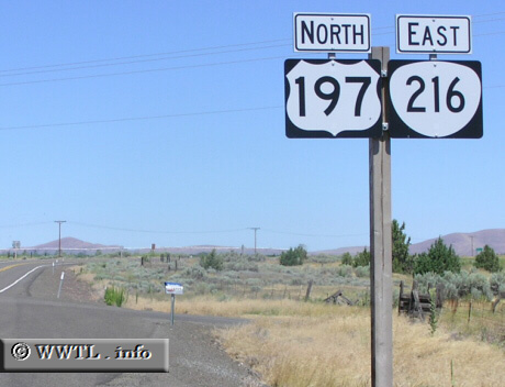
(Eastbound State Route 216/Northbound Federal Route 197; Wasco
County, Oregon)
--Photo taken by Chris Elbert c. 2000s ✔
Viatype:S2-U
Map Location: 45.17127, -121.12144
Oregon State Route 216 skirts along open range in Wasco and Sherman Counties. Along
its path, it briefly forms a duplex with Federal Route 197 and also crosses the White and
Deschutes Rivers.
Next photo>>>
| |