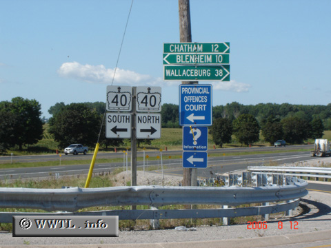
(Junction Provincial Route 40; Chatham-Kent, Ontario)
--Photo taken by Carlos Rogers in 2006 ✔
Viatype:S4-D
Map Location: 42.38263, -82.09366![]()
English | français
Chatham centre is to the right and Blenheim's to the left.
Distance Chart for
Ontario 40
Ontario 40
| Chatham, Ontario | |||||
| 75 | Sarnia, Ontario | ||||
| 27 | 48 | Wallaceburg, Ontario | |||
Approximate distance in km
(1 km = 0.621 miles)
(1 km = 0.621 miles)