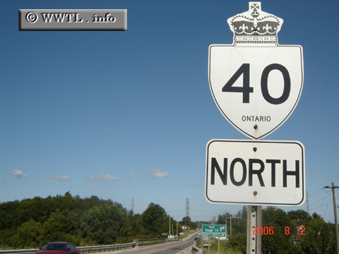
Canada
(Northbound Provincial Route 401; Chatham-Kent, Ontario)
--Photo taken by Carlos Rogers in 2006
✔
Viatype:
S4-D
Map Location:
42.3832, -82.09472
English |
français
Highway 40 swaths a diagonal path from Lake Huron to Lake Erie.
Next photo>>>
Share with:
Share information about this road!
Distance Chart for
Ontario 40
Chatham, Ontario
75
Sarnia, Ontario
27
48
Wallaceburg, Ontario
Approximate distance in km
(1 km = 0.621 miles)