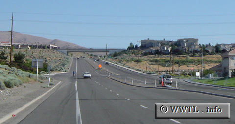
(Northbound McCarran Boulevard; Reno, Nevada)
--Photo taken by Carlos Rogers in 2006 ✔
Viatype:S4-D
Map Location: 39.51449, -119.85992![]()
The overpass in the distance is Interstate 80.
<<<Previous photo
![]()
![]()
![]()
![]()
Distance Chart for
Former Nevada 651
Former Nevada 651
| Junction Federal Route 395 | |||||
| 10 | Junction Interstate 80 | ||||
| 8.8 | 1.2 | Junction Nevada 647 | |||
Approximate distance in km
(1 km = 0.621 miles)
(1 km = 0.621 miles)