| | 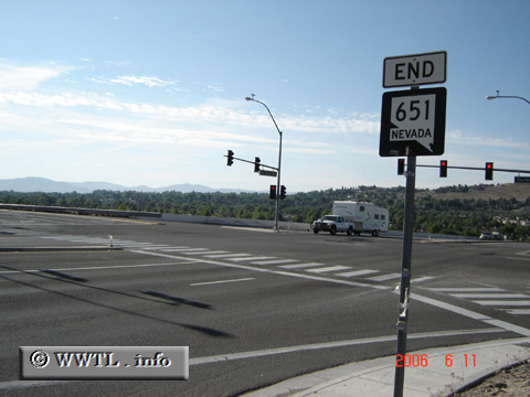
(Southbound McCarran Boulevard; Reno, Nevada)
--Photo taken by Carlos Rogers in 2006 ✔
Viatype:S4-D
Map Location: 39.51286, -119.85932
Route 651 was the northwestern segment of the McCarran Boulevard ring road, connecting Reno with Sparks. In 2009, the entire circumference was consolidated into a new State Route 659.
Next
photo>>>
| |