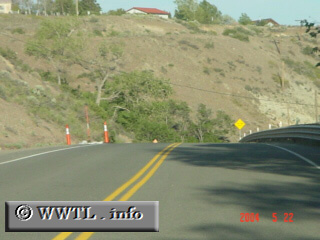
(Eastbound 4th Street; Reno, Nevada)
--Photo taken by Carlos Rogers c. 2000s ✔
Viatype:F4-D
Map Location: 39.51286, -119.90936
Although this portion of Nevada State Route 647 is within Reno city limits, there was little to no traffic.
Distance Chart for
Nevada 647
Nevada 647
| Junction Interstate 80 | |||||
| 5 | Junction Nevada 659 | ||||
| 9.4 | 4.4 | Reno, Nevada | |||
Approximate distance in km
(1 km = 0.621 miles)
(1 km = 0.621 miles)