| | 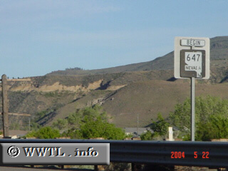
(Beginning of Nevada State Route 647; Washoe County, Nevada)
--Photo taken by Carlos Rogers c. 2000s ✔
Map Location: 39.51428, -119.91408
Once Nevada State Route 647 enters Reno
city-limits, it is known as 4th Street. This alignment was once part of
historic US 40.
Next
photo>>>
| |