Near its northern terminus, much of the surrounding land is undeveloped.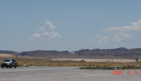
(Southbound State Route 604; Clark County, Nevada)
--Photo taken by Carlos Rogers in 2005 ✔
Viatype:S4-D
Map Location: 36.30908, -114.95273![]()
![]()
![]()
![]()
![]()
Distance Chart for
Nevada 604
Nevada 604
| Apex, Nevada | |||||
| 16 | Nellis Air Force Base | ||||
| 20 | 4 | Sunrise Manor, Nevada | |||
Approximate distance in km
(1 km = 0.621 miles)
(1 km = 0.621 miles)