Hot, dry heat outlines the scenery.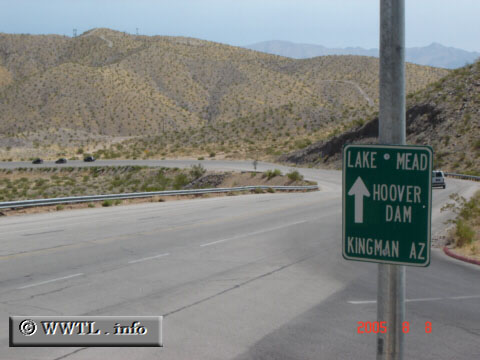
(Eastbound Nevada Highway; Boulder City, Nevada)
--Photo taken by Carlos Rogers c. 2000s ✔
Viatype:S4-D
Map Location: 35.98123, -114.83176![]()
![]()
![]()
![]()
![]()
Distance Chart for
Nevada 26
Nevada 26
| Boulder City, Nevada | |||||
| 2.8 | Hemenway Park | ||||
| 1.3 | 4.1 | Junction Business Route 93 | |||
Approximate distance in km
(1 km = 0.621 miles)
(1 km = 0.621 miles)