| | 
(Eastbound Nevada Highway; Boulder City, Nevada)
--Photo taken by Carlos Rogers c. 2000s ✔
Viatype:S4-D
Map Location: 35.97799, -114.83738
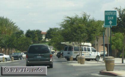
Nevada State Route 26, an unsigned highway in Nevada, connects downtown Boulder City with
Federal Route 93. Many tourists traverse this route on their journey to the Hoover
Dam.
Next
photo>>>
| |