(Westbound Federal Route 2; Sonora-Baja California border)
--Photo taken by Carlos Rogers in 2021 ✔
Viatype:S4-D
English | español
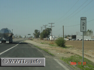
Just like you'll see in the United States, Mexican routes often indicate their distances from state borders. However, distances are marked in kilometers (instead of miles, naturally) and increase from east to west (instead of vice-versa).
Next
photo>>>
<<<Previous
photo