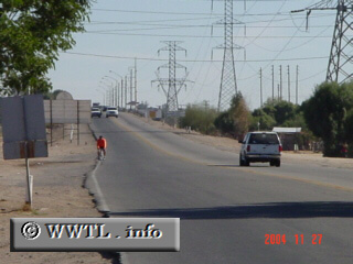
(Eastbound Federal Route 2; just west of Sonora-Baja California border)
--Photo taken by Carlos Rogers c. 2000s ✔
Viatype:S2-U
Map Location: 32.49476, -114.81878
English | español
The raised highway-section in the background is the Colorado River crossing.
Next
photo>>>
<<<Previous
photo