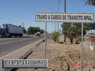
(Westbound Federal Route 2; just east of Sonora-Baja California border)
--Photo taken by Carlos Rogers in 2021 ✔
Viatype:S4-D
English | español
A government-funded booth will approach shortly.
Next
photo>>>
<<<Previous
photo
| México |
(Westbound Federal Route 2; just east of Sonora-Baja California border) --Photo taken by Carlos Rogers in 2021 ✔ Viatype:S4-D English | español A government-funded booth will approach shortly. Next
photo>>>
|
|