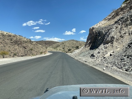
(Eastbound Federal Route 2; Agua Prieta Municipality, Sonora)
--Photo taken by Carlos Rogers in 2021 ✔
Viatype:S2-U
Map Location: 31.31883, 109.0536
English | español
Parts of Route 2 are being modernised in 2021. Dangerous curves are getting bypassed and replaced by new roadway.
Next
photo>>>
<<<Previous
photo