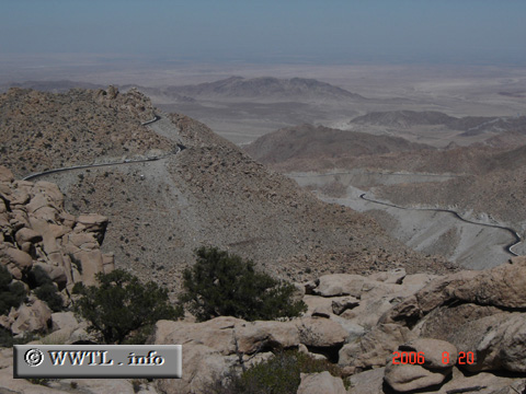
(Federal Route 2; Tecate Municipality, Baja California)
--Photo taken by Carlos Rogers in 2006 ✔
Viatype:S2-U
English | español
At the Rumorosa Grade, the route twists and turns through rocky mountainside.
Next
photo>>>
<<<Previous
photo
| México |
|
(Federal Route 2; Tecate Municipality, Baja California) --Photo taken by Carlos Rogers in 2006 ✔ Viatype:S2-U English | español At the Rumorosa Grade, the route twists and turns through rocky mountainside. Next
photo>>> |
|