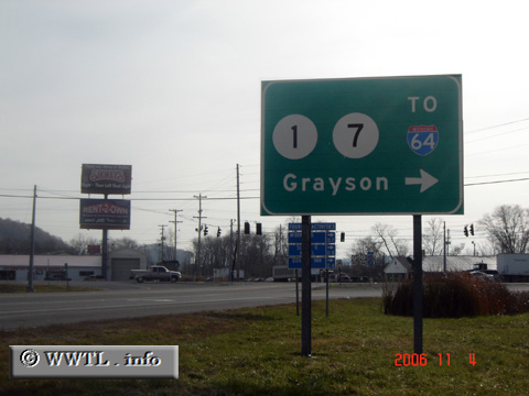
(End Eastbound State Route AA; Grayson, Kentucky)
--Photo taken by Carlos Rogers in 2006 ✔
Viatype:S2-U
Map Location: 38.35132, -82.94002![]()
End AA Highway!
Distance Chart for
Kentucky AA Highway
Kentucky AA Highway
| Grayson, Kentucky | |||||
| 183 | Vanceburg, Kentucky | ||||
| 131 | 52 | Wilder, Kentucky | |||
Approximate distance in km
(1 km = 0.621 miles)
(1 km = 0.621 miles)