| | 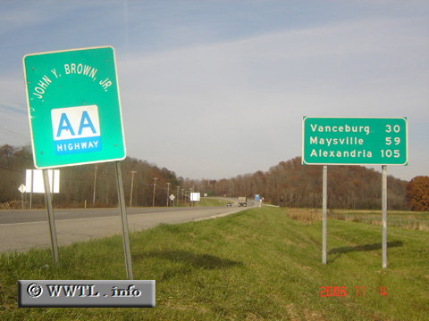
(Westbound State Route AA; Grayson, Kentucky)
--Photo taken by Carlos Rogers in 2006 ✔
Viatype:S2-U
Map Location: 38.35144, -82.94026
The AA Highway stretches from the
Kentucky suburbs of Cincinnati to Grayson, the county-seat of Carter County.
Next
photo>>>
| |