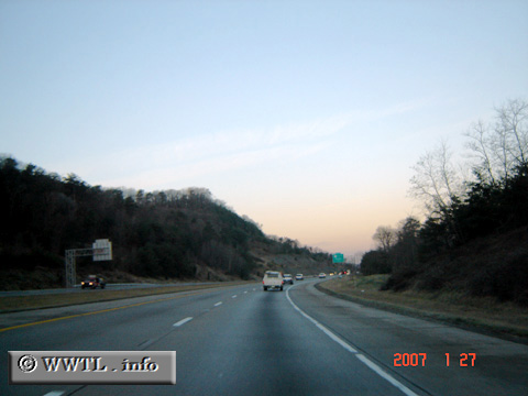
(Westbound Gene Snyder Freeway; Jefferson County, Kentucky)
--Photo taken by Carlos Rogers in 2007 ✔
Viatype:S4-D
Map Location: 38.11406, -85.71912![]()
Sunrise is sure per-tty.
Distance Chart for
Kentucky 841
Kentucky 841
| Junction Interstate 65 | |||||
| 10 | Penile, Louisville | ||||
| 20 | 10 | Valley Station, Louisville | |||
Approximate distance in km
(1 km = 0.621 miles)
(1 km = 0.621 miles)