| | 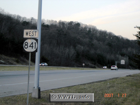
(Westbound Gene Snyder Freeway; Jefferson County, Kentucky)
--Photo taken by Carlos Rogers in 2007 ✔
Viatype:S4-D
Map Location: 38.115, -85.71233
Route 841 forms an outer
beltway around metro-Louisville. Interstate 265 overlays its routing between Interstate 65
and Interstate 71.
Next photo>>>
| |