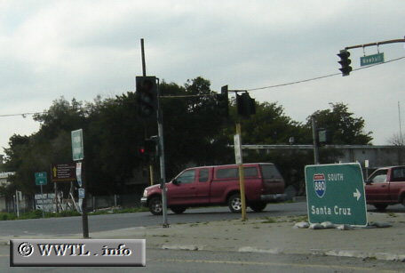
(Westbound Coleman Avenue; San Jose, California)
--Photo taken by Carlos Rogers c. 2000s ✔
Viatype:F4-D
Map Location: 37.3518, -121.92274![]()
In early 2005, reconstruction efforts near the Norman Y. Mineta Airport have made placement for highway-signage, well, a bit inventive.
Next
photo>>>
<<<Previous
photo
![]()
![]()
![]()
![]()
Distance Chart for
Interstate 880
Interstate 880
| Hayward, California | |||||
| 27 | Oakland, California | ||||
| 38 | 65 | San Jose, California | |||
Approximate distance in km
(1 km = 0.621 miles)
(1 km = 0.621 miles)