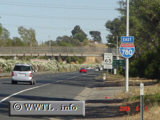
(Eastbound Interstate 780; Vallejo, California)
--Photo taken by Carlos Rogers c. 2000s ✔
Viatype:F4-D
Map Location: 38.08911, -122.22201![]()
A daytime shot of Interstate 780.
Next
photo>>>
<<<Previous
photo
Distance Chart for
Interstate 780
Interstate 780
| Benicia, California | |||||
| 3.4 | Benicia Bridge | ||||
| 11 | 14 | Vallejo, California | |||
Approximate distance in km
(1 km = 0.621 miles)
(1 km = 0.621 miles)