| | 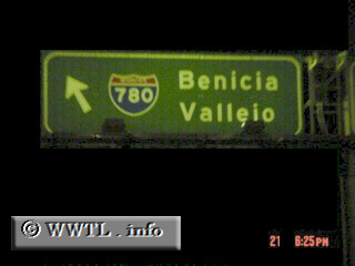
(Beginning of Westbound Interstate 780; Benicia, California)
--Photo taken by Carlos Rogers c. 2000s ✔
Viatype:F4-D
Map Location: 38.04982, -122.13036
Interstate 780 was once the
"final leg" of Interstate 680. But since Bay Area motorists needed a more
direct connection to rural Interstate 80 and Sacramento, Interstate 680 was re-routed north to
Cordelia.
Next
photo>>>
| |