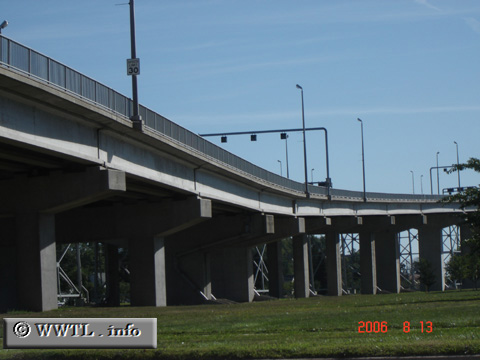
(Eastbound Interstate 69/Eastbound Interstate 94; Port Huron, Michigan)
--Photo taken by Carlos Rogers in 2006 ✔
Viatype:F4-D
Map Location: 42.99848, -82.43382![]()
In eastern Port Huron, Interstate 69 and Interstate 94 ascend to their international bridge crossing.
Next
photo>>>
<<<Previous
photo
Distance Chart for
USA Interstate 69
USA Interstate 69
| Evansville, Indiana | |||||||||
| 482 | Fort Wayne, Indiana | ||||||||
| 203 | 277 | Indianapolis, Indiana | |||||||
| 409 | 211 | 685 | Lansing, Michigan | ||||||
| 188 | 604 | 406 | 885 | Port Huron, Michigan | |||||
Approximate distance in km
(1 km = 0.621 miles)
(1 km = 0.621 miles)