| | 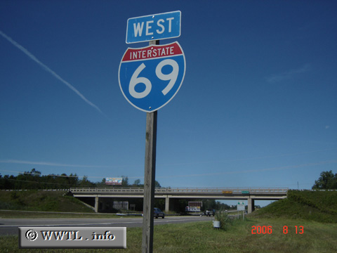
(Westbound Interstate 69; Saint Clair County, Michigan)
--Photo taken by Carlos Rogers in 2006 ✔
Viatype:F4-D
Map Location: 42.97284, -82.50137
Interstate 69 spans from
Indianapolis, IN to Sarnia, ON. Between Lansing and Sarnia, the route is
signed as an "east-west" highway. Normal convention prescribes
that odd-numbered Interstates are north-south. Thus, Interstate 69 is an exception
to the rule in much of Michigan.
Next
photo>>>
| |