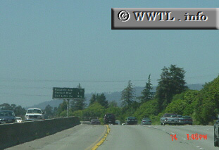
(Westbound MacArthur Freeway; San Lorenzo, California)
--Photo taken by Carlos Rogers c. 2000s ✔
Viatype:F4-D
Map Location: 37.7204, -122.1342![]()
The MacArthur Freeway is an enjoyable ride, and never bottles up too much in traffic.
Next
photo>>>
<<<Previous
photo
Distance Chart for
Interstate 580
Interstate 580
| Oakland, California | |||||
| 35 | San Rafael, California | ||||
| 87 | 122 | Tracy, California | |||
Approximate distance in km
(1 km = 0.621 miles)
(1 km = 0.621 miles)