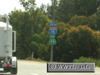
(Southbound Temecula Valley Freeway; Temecula,
California)
--Photo taken by Dan Peri c. 2000s ✔
Viatype:F4-D
Map Location: 33.497373, -117.14923![]()
In Temecula, Interstate 15 and State Route 79 run joint for ~3 miles.
Next
photo>>>
<<<Previous
photo
Distance Chart for
Interstate 15
Interstate 15
| Helena, Montana | |||||||||||
| 1452 | Las Vegas | ||||||||||
| 517 | 937 | Pocatello, Idaho | |||||||||
| 778 | 677 | 264 | Salt Lake City, Utah | ||||||||
| 1982 | 536 | 1476 | 1216 | San Diego, Calif. | |||||||
Approximate distance in km
(1 km = 0.621 miles)
(1 km = 0.621 miles)