Interstate 155 connects Dyer County with the state of Missouri, via a Mississippi
River crossing.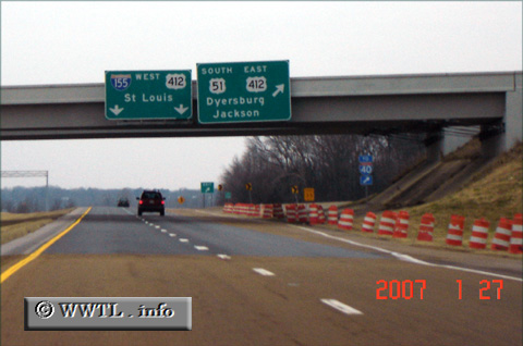
(Beginning of Westbound Interstate 155; Dyer County,
Tennessee)
--Photo taken by Carlos Rogers in 2007 ✔
Viatype:F4-D
Map Location: 36.07336, -89.34745![]()
![]()
![]()
![]()
![]()
| Distance Chart for USA Interstate 155
Approximate distance in km (1 km = 0.621 miles) | ||||||||||||||||||