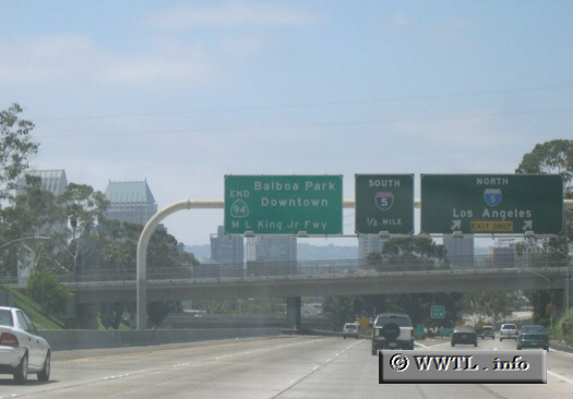
(End Westbound Martin Luther King, Jr. Freeway; San
Diego, California)
--Photo taken by Eric Lozaga
Map Location: 32.71332, -117.1421![]()
Motorists have the choice of downtown San Diego (in the background), National City via Interstate 5 south, or Los Angeles via Interstate 5 north.
Next photo>>>
<<<Previous
photo
Distance Chart for
California 94
California 94
| Manzanita, California | |||||
| 102 | San Diego, California | ||||
| 46 | 65 | Tecate, California | |||
Approximate distance in km
(1 km = 0.621 miles)
(1 km = 0.621 miles)