| | 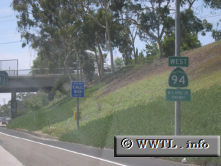
Viatype:F4-D
(Westbound Martin Luther King, Jr. Freeway; San
Diego, California)
--Photo taken by Eric Lozaga c. 2000s ✔
Downtown San Diego and the city
of Boulevard are the control points for Highway 94. This route spans ~50
miles in the southwestern California, and guides motorists towards Tecate,
México.
Next
photo>>>
| |