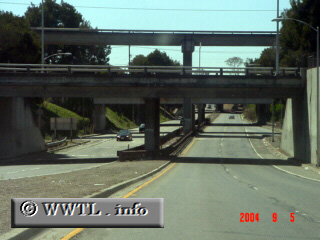
(Westbound 42nd Avenue;
Oakland, California)
--Photo taken by Carlos Rogers c. 2000s ✔
Viatype:S4-D
Map Location: 37.77134, -122.21845![]()
This picture shows the majority of State Route 77's route. The lower-level overpass blocks the view of State Route 77's terminus w/ Interstate 880.
Distance Chart for
California 77
California 77
| Junction California 185 | |||||
| 0.6 | Junction Interstate 880 | ||||
| 0.1 | 0.5 | Junction Twelfth Street | |||
Approximate distance in km
(1 km = 0.621 miles)
(1 km = 0.621 miles)