| | 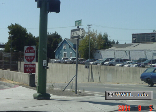
(Beginning of westbound State Route 77 (42nd Avenue);
Oakland, California)
--Photo taken by Carlos Rogers c. 2000s ✔
Viatype:F4-D
Map Location: 37.77293, -122.21618
State Route 77, originally designed to
be a high-volume artery between (present-day) Interstates 880 and 580, never
came to full fruition. Today, its truncated-routing has transformed to an
onramp-stub from State Route 185 to Interstate 880. The route is an unsigned for
its entire length, save a State Route 185 "courtesy-shield" near its terminus
with Interstate 880--creating a false perception that State Route 185 extends beyond its
northern terminus.
Next
photo>>>
|
|