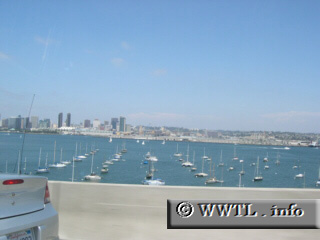
Above are some local yachts--and in the background, the downtown San Diego skyline. This picture was taken from the (presently) toll-free State Route 75 bridge. Next
photo>>> |
Distance Chart for
California 75
California 75
| Coronado, California | |||||
| 14 | Imperial Beach, California | ||||
| 10 | 24 | San Diego, California | |||
Approximate distance in km
(1 km = 0.621 miles)
(1 km = 0.621 miles)